NWSPEC
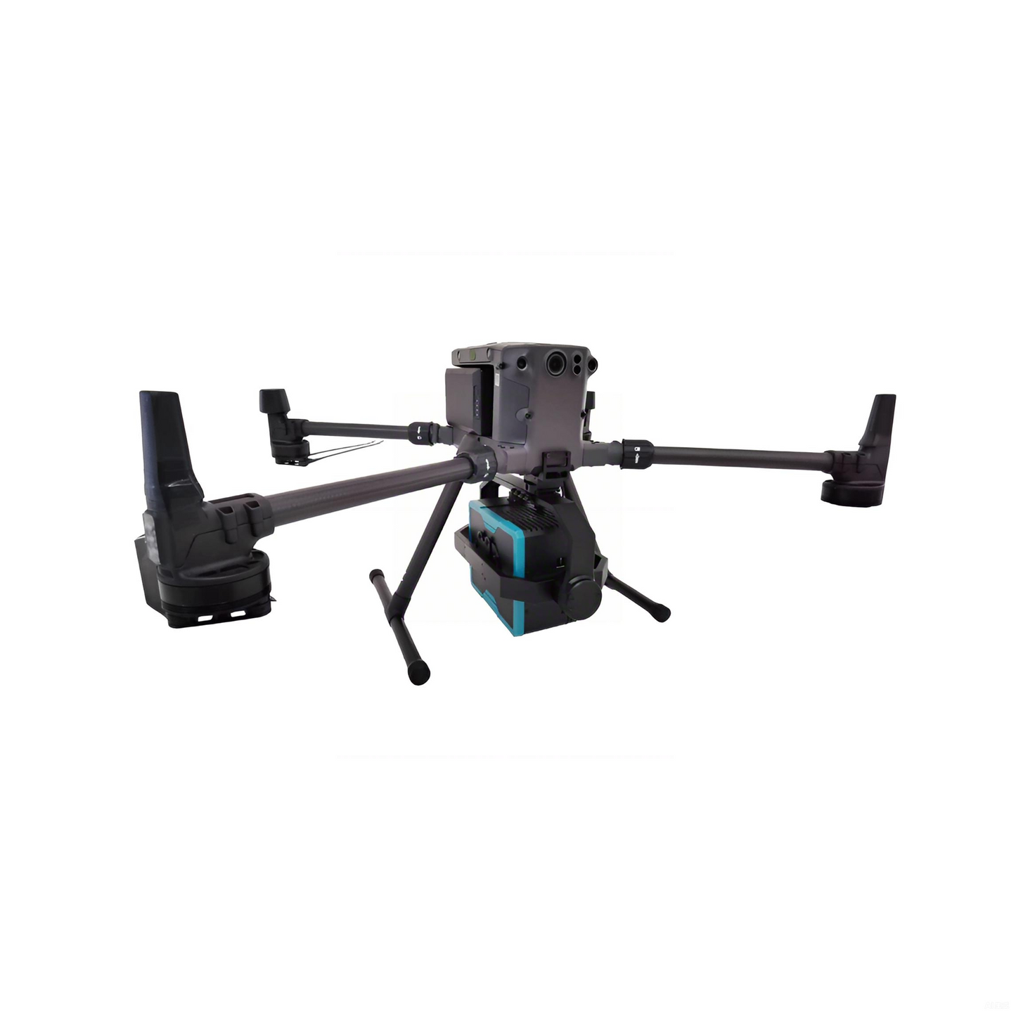
NWH9000 UAV Hyperspectral Imager
NWH9000 UAV Hyperspectral Imager
Couldn't load pickup availability
Product Overview
The UAV Hyperspectral Imager NWH9000 integrates advanced hyperspectral imaging technology with high-resolution visual imaging to fully extract and utilize the unique spectral signatures of different materials. By combining spectral data with high-definition images, the system enables comprehensive detection of the qualitative, quantitative, temporal, and spatial characteristics of substances. It serves as an all-in-one remote sensing platform that unifies imaging and spectroscopy.
Application Fields & Use Cases
Water Quality & Environmental Monitoring:
Detection of key water quality parameters such as total nitrogen (TN), total phosphorus (TP), ammonia nitrogen (NH₃-N), chlorophyll, turbidity, and permanganate index (COD<sub>Mn</sub>).
Soil Monitoring:
Assessment of soil moisture, soil fertility, and heavy metal contamination.
Geological Applications:
Mineral mapping, composition analysis, and ore deposit prediction.
Agriculture & Forestry (Carbon Sequestration):
Precision agriculture, crop disease and pest monitoring, and tree species identification.
Defense & Military Applications:
Camouflage detection, unmanned reconnaissance, and tactical surveillance.
Case Study: Hyperspectral Water Quality Monitoring via UAV
Location & Target: A river section in Shanghai, China
Mission Objective: Real-time monitoring of water quality parameters
Outcome:
Analysis of hyperspectral data provided concentration distributions for COD<sub>Mn</sub>, TP, NH₃-N, and DO (Dissolved Oxygen).
The monitoring results achieved an accuracy of over 80%.