
NWSPEC
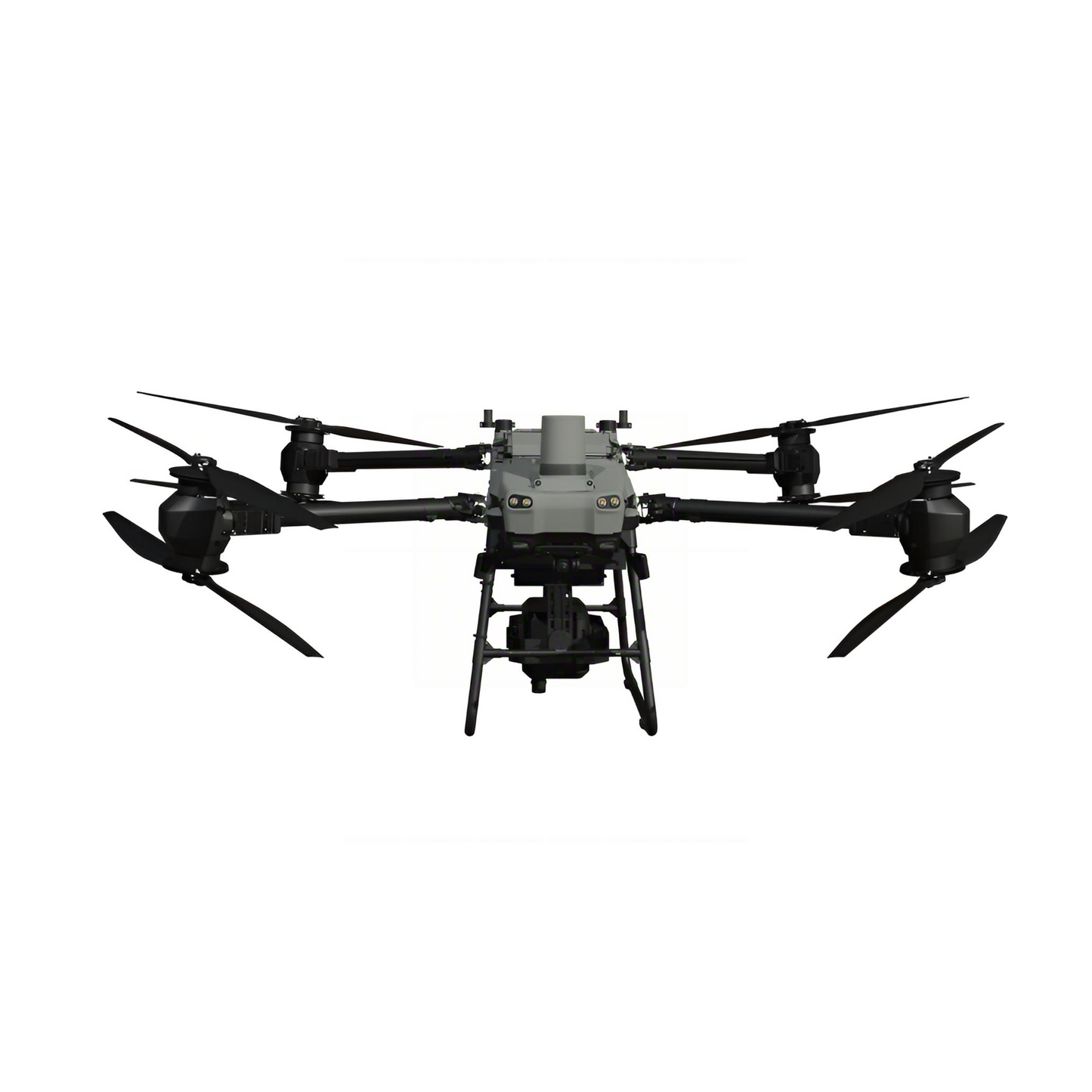
UAV Hyperspectral Imager for Drone | 400–2500nm
UAV Hyperspectral Imager for Drone | 400–2500nm
Description
RU-70-L 400-2500nm Full-Spectrum UAV Hyperspectral Imaging System utilizes cutting-edge hyperspectral imaging technology to fully capture and analyze the unique spectral information of various materials. Combining high-definition imaging with precise spectral data, it enables comprehensive qualitative, quantitative, temporal, and spatial analysis of substances. This versatile "spectral-map integration" platform serves as a comprehensive remote sensing solution, widely applicable in water environment monitoring, precision agriculture, mineral resource surveys, target recognition, and camouflage detection. It effectively meets the diverse needs of environmental monitoring, geological exploration, and defense research industries.
Key Specifications
Features
- Exceptional Spectral Performance: Full-band spectral resolution superior to 10nm, enabling precise analysis of spectral characteristics for various ground objects across 460 spectral bands
- Large-Format Hyperspectral Camera: Horizontal field of view greater than 21°, covering large areas in a single flight mission
- Integrated Data Acquisition: Hardware-synchronized triggering of hyperspectral camera, 15MP HD camera, and POS system for unified data capture
- High-Capacity Onboard Storage: Built-in 2TB SSD hard drive in airborne control system for worry-free data storage during extended operations — up to 8 hours continuous recording
- Push-Broom Scanning Technology: Non-hover scanning during UAV flight with no frame limitations, delivering high operational efficiency
- Real-Time Water Quality Inversion: Supports real-time retrieval of chlorophyll (CHLA), total nitrogen (TN), total phosphorus (TP), ammonia nitrogen (NH3-N), permanganate index (CODMn), and suspended solids
- Live Spectral Visualization: Real-time rendering of multi-band spectral composite images with live monitoring of hyperspectral acquisition and spatial point spectral curves
- Remote Intelligent Control: UAV ground station remote control for convenient operation, eliminating invalid flight missions
- Professional Software Compatibility: Data format fully compatible with ENVI and other third-party software for seamless workflow integration
- Comprehensive Analysis Software Suite: One-stop data management, full data preprocessing, multi-dimensional data analysis, ground object classification, vegetation index calculation, custom band operations, and color rendering mapping
- Fast Deployment: Complete system setup within 10 minutes for efficient field deployment
Applications
- Water Environment Monitoring: TN/TP/NH3-N/CHLA parameter monitoring and water quality assessment
- Soil Monitoring: Soil moisture content monitoring, soil fertility assessment, heavy metal pollution detection
- Geological Applications: Mineral mapping, mineral composition detection, metallogenic prediction
- Agriculture & Forestry Carbon Sink: Agricultural mapping, pest and disease control, tree species identification
- Defense & Security: Camouflage identification, unmanned reconnaissance, target detection
Order Guide
| Model | Spectral Range | Key Configuration | Application Focus |
|---|---|---|---|
| RU-10-L | 400-1000nm (VNIR) | Visible-Near Infrared, high spatial resolution, lightweight payload | Precision agriculture, vegetation monitoring, environmental assessment |
| RU-30-L | 900-1700nm (SWIR-I) | Short-Wave Infrared-I, moisture detection, material discrimination | Soil analysis, mineral exploration, industrial material sorting |
| RU-70-L | 400-2500nm (Full Spectrum) | VNIR + SWIR full coverage, 2TB SSD, 15MP HD camera, POS integration | Comprehensive remote sensing, geological survey, defense reconnaissance, water quality monitoring |
Validation Case
- Project
- UAV Hyperspectral Water Quality Remote Sensing Monitoring
- Location
- Municipal River Channel, Shanghai District
- Objective
- Water quality parameter monitoring and spatial distribution mapping
- Result
- Through data analysis, concentration distribution maps of CODMn, TP, NH3-N, and DO values were generated with accuracy exceeding 80%, demonstrating reliable performance for environmental monitoring applications.
Couldn't load pickup availability

Frequently Asked Questions
How can I contact you?
Feel free to call us T+86 189-6516-4839
or email sales@nwspec.com to:
• Place an order
• Ask for a quote
• Or if you have any other questions
You will always get a live person here at NWSPEC; never an automated system!
We are open from 6:00AM - 7:00PM Eastern Time, Monday - Friday.
Where can I find application notes?
If you have any questions regarding the application notes, or can't find the one you are looking for, please contact Sales at sales@nwspec.com
Do you have instructional manuals for your instruments to download?
Yes, we have instructional manuals for our instruments. They can be found on https://nwspec.com/pages/resource .
If you don't see the one you are looking for, please contact: sales@nwspec.com