


NWSPEC
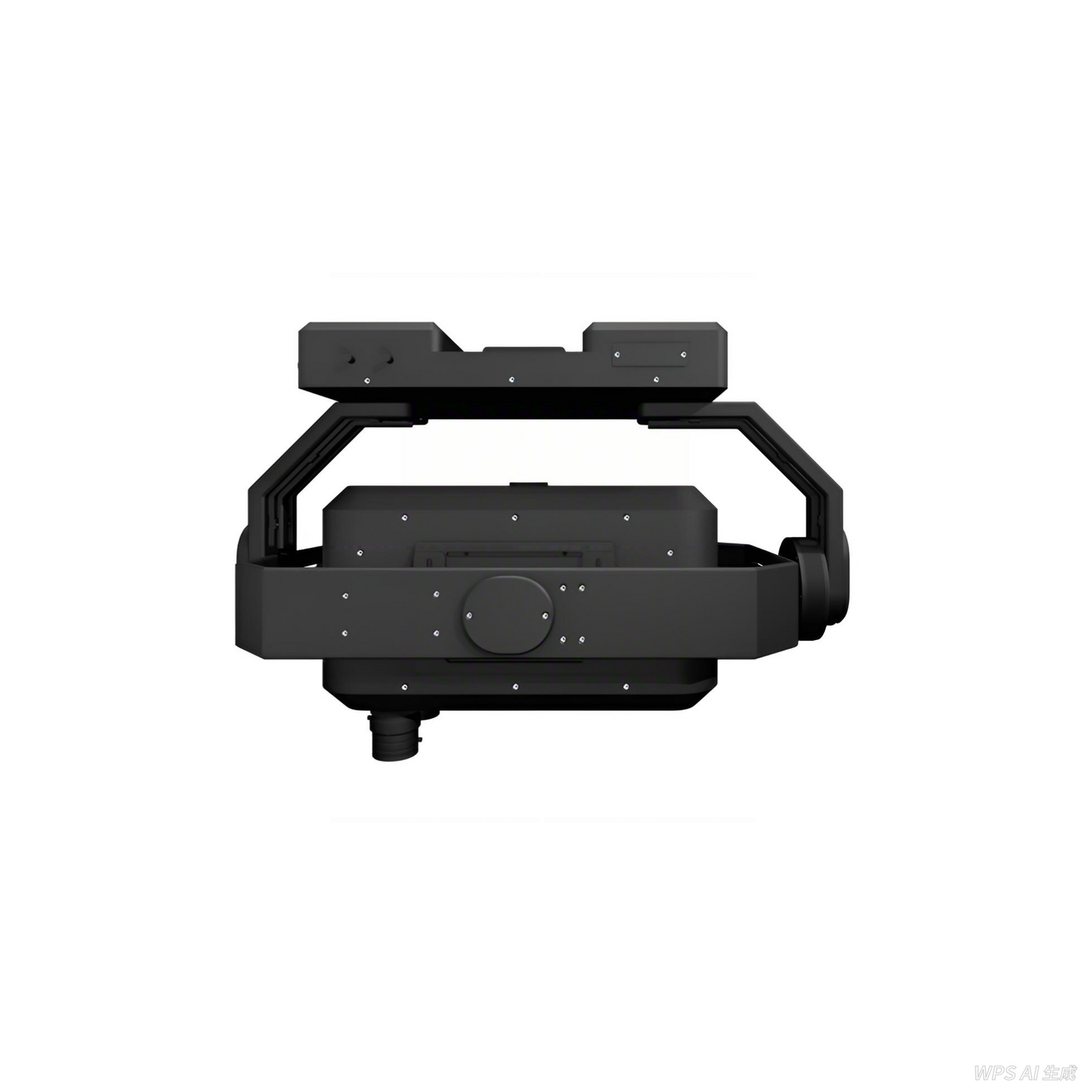
UAV-mounted Hyperspectral Camera | VNIR, SWIR & Full-Spectrum | RU Series
UAV-mounted Hyperspectral Camera | VNIR, SWIR & Full-Spectrum | RU Series
The RU Series is a family of UAV-optimized hyperspectral imaging systems covering VNIR (400–1000 nm), SWIR (900–1700 nm), and full-spectrum (400–2500 nm) configurations. Designed for precision agriculture, environmental monitoring, geology, and remote sensing, each model is engineered for minimal weight and maximum spectral performance on commercial and research-grade drone platforms.
- DetectorCMOS
- Frame Rate400 fps
- Bands300
- Resolution<2 nm
- DetectorInGaAs
- Frame Rate175 fps
- Bands256
- Resolution<5 nm
- DetectorCMOS + InGaAs
- Frame Rate120 fps
- Bands500+
- Resolution<5 nm
Compact, lightweight design engineered for commercial UAV payload constraints without compromising spectral performance.
Up to 400 fps enables high-altitude, high-speed flight without motion blur or data gaps in the spectral cube.
Line-scan push-broom design with minimal smile and keystone for accurate spectral mapping across the flight path.
Compatible with DJI Matrice series and custom UAV platforms via standard gimbal and trigger interfaces.
- NDVI, NDWI, crop stress mapping
- Yield prediction
- Irrigation management
- Mineral identification
- Alteration mapping
- Soil composition
- Water quality assessment
- Pollution detection
- Wetland & forest mapping
- Remote sensing calibration
- Target detection
- Camouflage analysis
Match the Right Model to Your UAV & Mission
Provide your drone platform, flight altitude, and target application for a configuration recommendation.
Couldn't load pickup availability


Frequently Asked Questions
How can I contact you?
Feel free to call us T+86 189-6516-4839
or email sales@nwspec.com to:
• Place an order
• Ask for a quote
• Or if you have any other questions
You will always get a live person here at NWSPEC; never an automated system!
We are open from 6:00AM - 7:00PM Eastern Time, Monday - Friday.
Where can I find application notes?
If you have any questions regarding the application notes, or can't find the one you are looking for, please contact Sales at sales@nwspec.com
Do you have instructional manuals for your instruments to download?
Yes, we have instructional manuals for our instruments. They can be found on https://nwspec.com/pages/resource .
If you don't see the one you are looking for, please contact: sales@nwspec.com